 KGIS Gateway Page
Wesley Place is located in Knox County, Tennessee which has a sophisticated online geographic information system known as the KGIS.
KGIS has free parcel ownership data accessible to the public. Its interface allows both address-based and map-based searches. The two images below are links to Phase 3 (west side) on the left and Phases 1 and 2 (east side) on the right.
KGIS provides detailed user instructions. However, to quickly find information for a parcel do the following:
- Click on either the Phase 3 or the Phase 1 and 2 images below to transfer to the KGIS website.
- Click on the "i" in the red circle named "Parcel Identify."
- Click on the parcel of interest.
- For more details, click on the icons in the Parcel Info box.
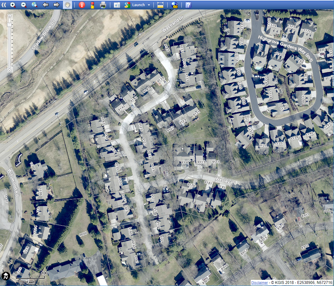
West--Wesley Place Phase 3
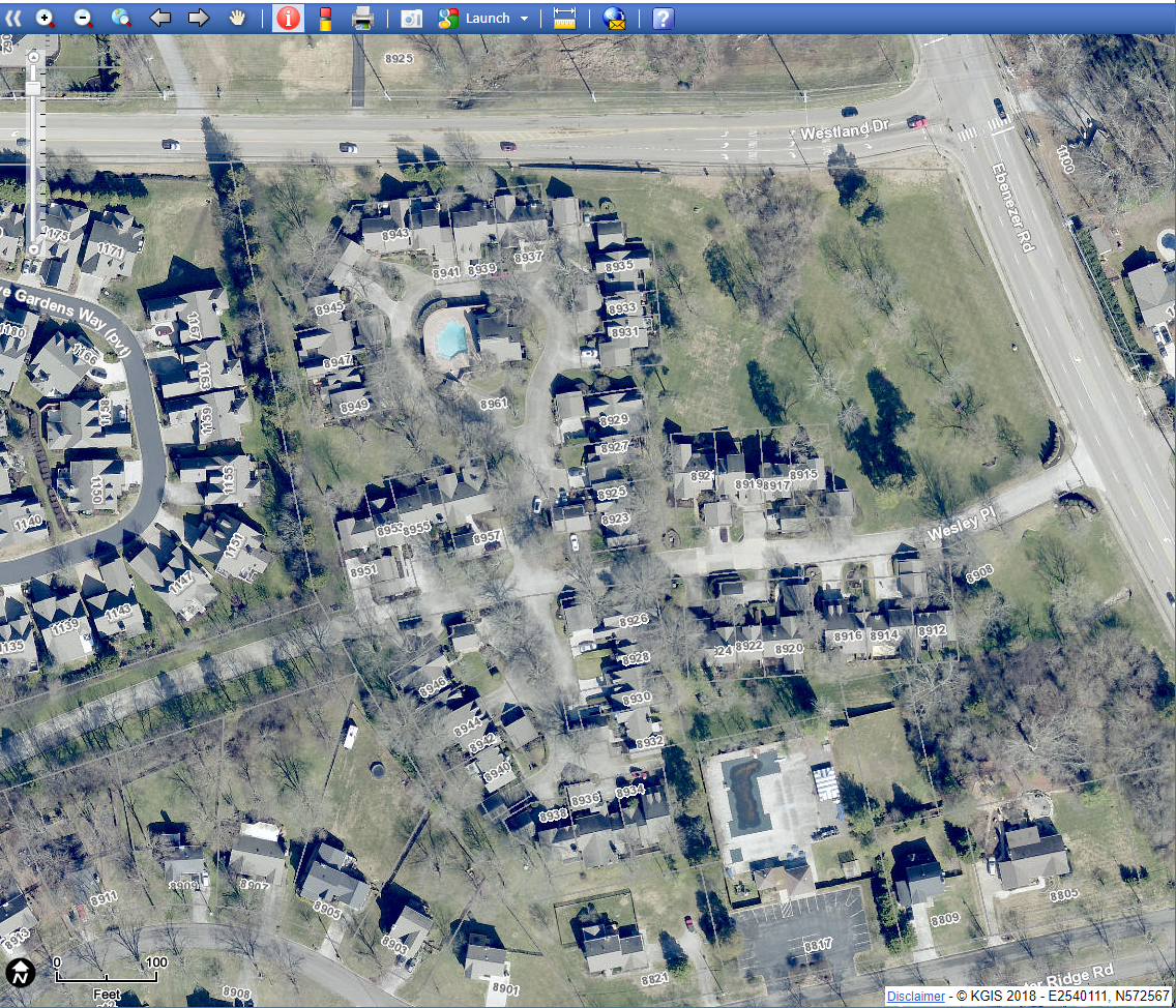
East--Wesley Place Phases 1 & 2