GIS Gateway
KGIS

Wesley Place is located in Knox County, Tennessee which has a sophisticated online geographic information system known as the KGIS.
KGIS has parcel ownership data available to the public. Its interface allows both address based and map based searches. The two images below are links to Phase 3 (on the left) and Phases 1 and 2 (on the right).
KGIS provides its own user instructions. However, to quickly find information on a parcel do the following:
- Click on either the Phase 3 or the Phase 1 and 2 images below to transfer to the KGIS web site.
- Click on the "i" in the red circle named "Parcel Identify."
- Click on the parcel of interest.
- For more details, click on the icons in the Parcel Info box.
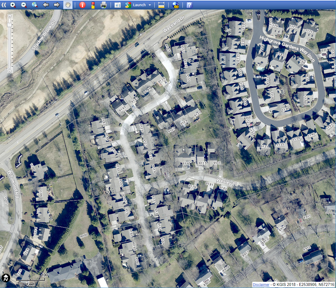 |
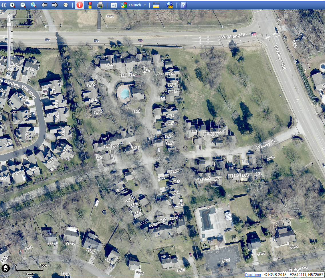 |
| Wesley Place Phase III | Wesley Place Phases I and II |